Salt Creek and the Needles, Canyonlands: April 2024

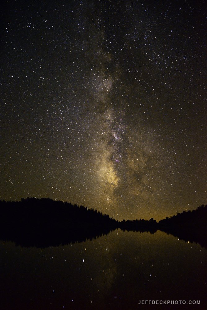
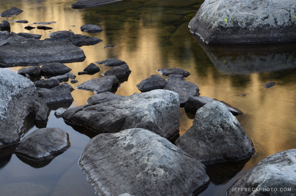
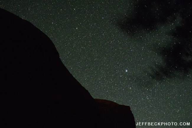
Big Ruin, Salt Creek, Canyonlands National Park, Utah

Salt Creek had been on my radar for many moons. With a number of must see archeological sites, this was a life list trip for me. And, because it’s not that far from home, I feel confident I'll be back for another round at some point. I definitely felt it was worthy of more exploration. My immediate thought after leaving the vicinity of Angel Arch was, “how can I get back here?”.

Most people do Salt Creek as it’s own thing, typically over three to four days ending at Cave Spring. Looking at the map and seeing how the Peekaboo trail connects Salt Creek with the network of trails in the heart of the Needles, I conceived of a week long thru hike of the Needles District from Cathedral Butte to the Elephant Hill Trailhead. With the last night spent in Chesler Park.

It had been ages since I’d been to Chesler Park or Druid Arch, but they were some of the first places where I became aware and in awe of Southern Utah. I loved the idea of adding those locations to an exploration of Salt Creek, and spending an entire week in the Needles District.

The plan was SC2, SC3, 2 nights in the Salt/Horse Zone, LC2, and finally CP2. I had a very similar itinerary booked for April 2020. With Covid, the park closed and the permit was canceled. Fast forward four years and it was on.

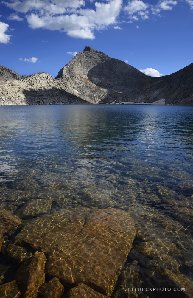
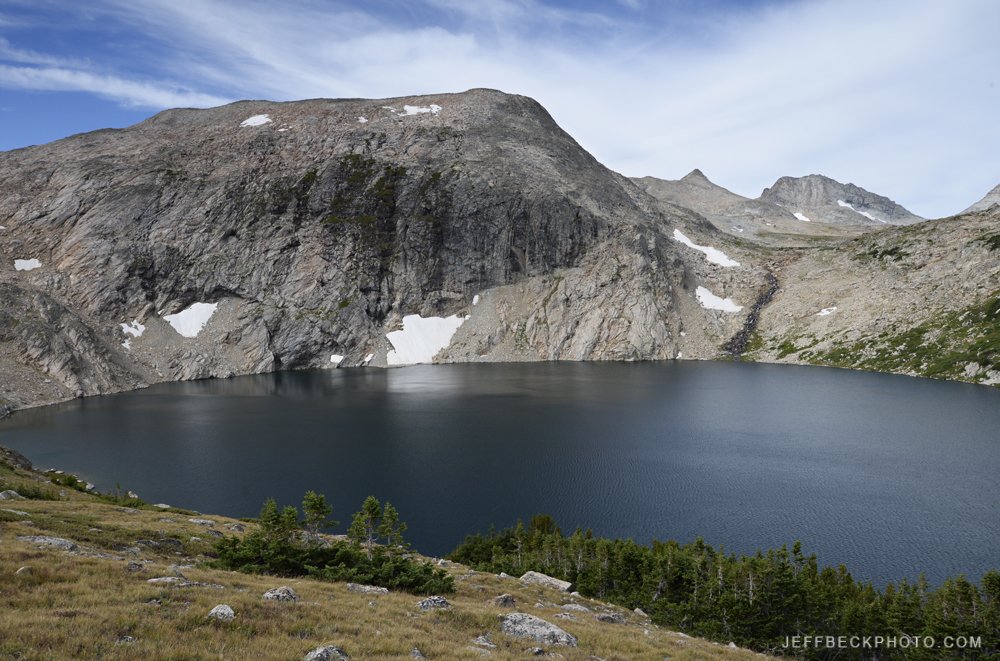
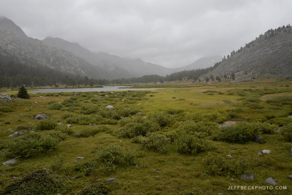
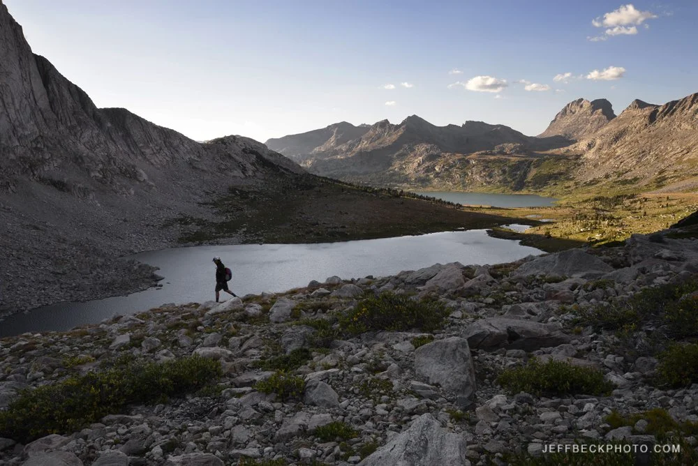
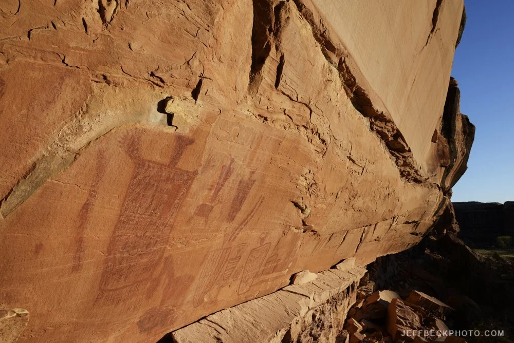
Salt Creek and the heart of the Needles are very different experiences. Once you drop into Salt Creek, you’re on a trail in the canyon bottom the entire way. At times it can seem like you’re penned in, without any views. Salt Creek is like a museum with the cultural artifacts and rock art providing a big part of the interest. It takes a lot of energy to continually make side hikes to see the ruins and rock art. Angel Arch and Molar Rock, a mile and a half up a side canyon, is an exceptional place of sheer grandeur. In a sense, it seems a world away from Salt Creek.

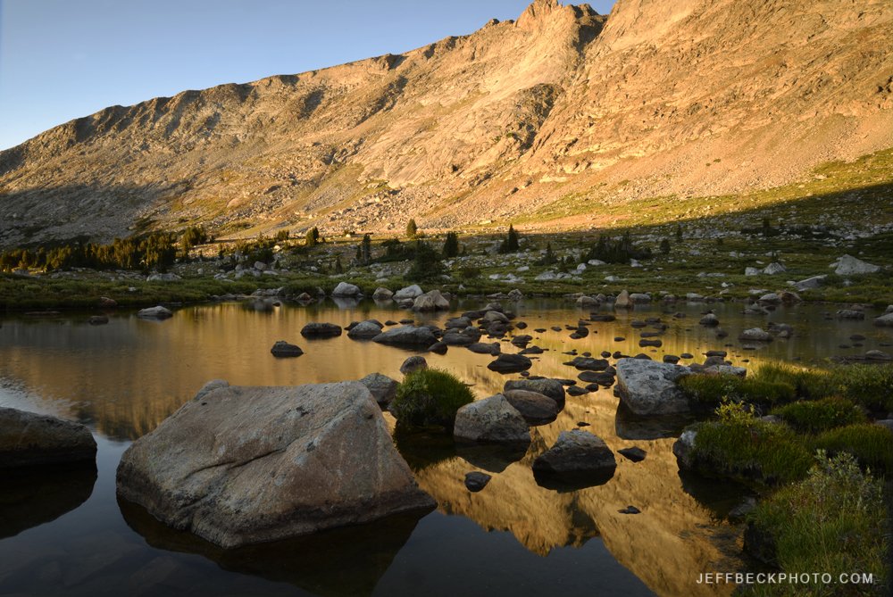
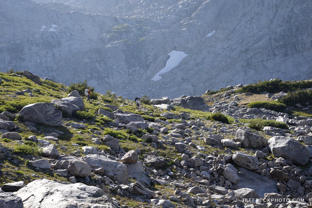
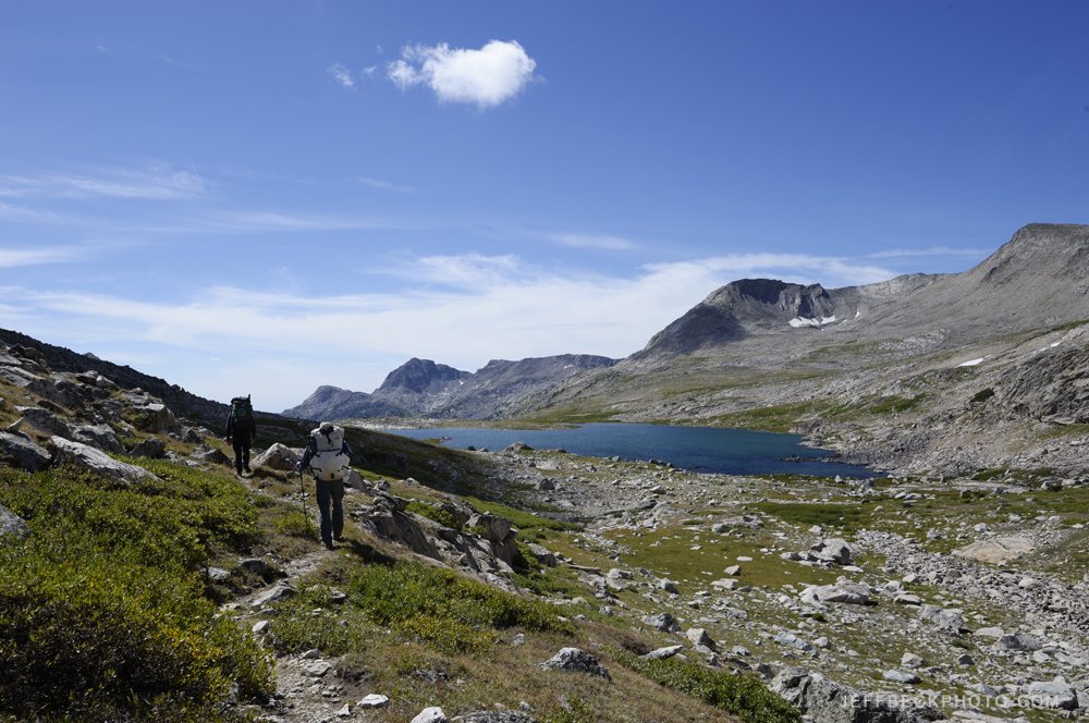
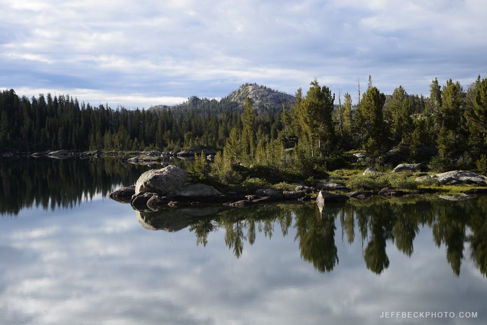
Leaving Salt Creek on the Peekaboo trail you crawl up to these mid level slickrock shelves and occasionally climb to pass between slickrock canyons. The views really open up, and all of a sudden the place is devoid of ancestral imprints and the stark scenery is front and center. The route is no longer a sandy track, but follows cairns on solid rock, with steep friction climbs, a ladder, and at least one exposed move on the way to Lost Canyon. Not for those with an extreme fear of heights.

Squaw Canyon Panorama, The Needles

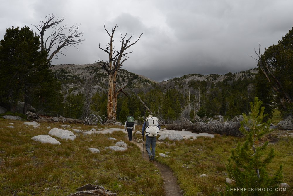
Not everything went according to plan. We lost two thirds of our crew after night five. It was sad to part ways with Erik, Julietta, Tari, and Pat. We would meet again the next day on the trail, and our trails end picnic at the Elephant Hill Trailhead was a high point.

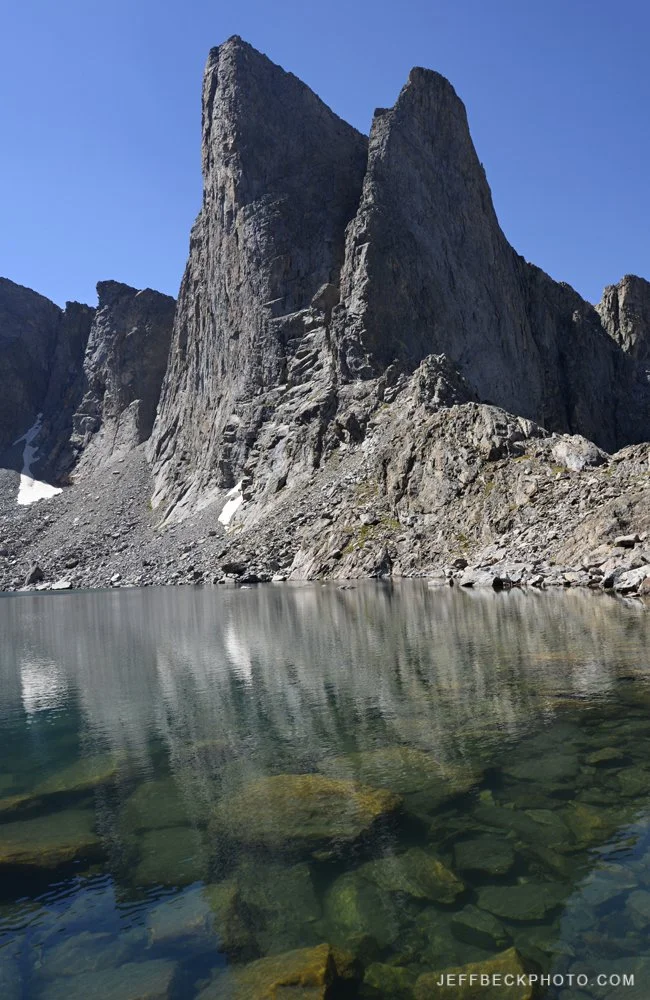
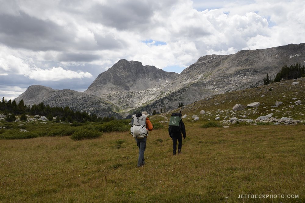
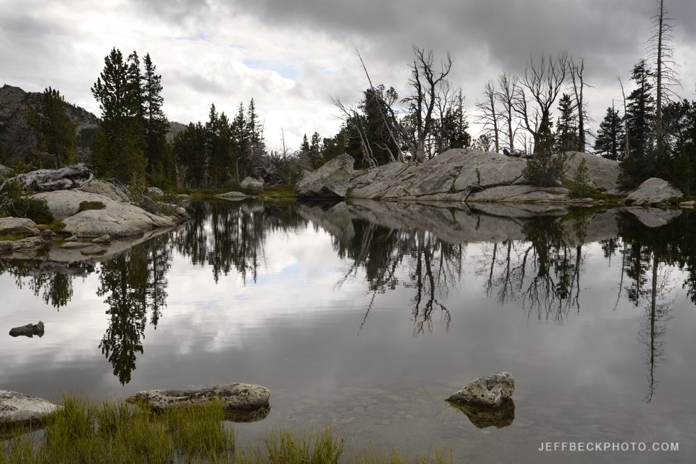
From the looks of this gallery half of the trip took place on day six. Day six had the longest mileage and the most elevation gained and lost, as the route was in and out of half a dozen different canyons on the way from Lost Canyon to Chesler Park. On this day, the weather Gods smiled on us, although I did feel a pang of fear as it really started to pour while we were at Druid Arch. But, as quickly as it started, the rain stopped and the sun started to peek out.

Sunset Needles Panorama, Canyonlands National Park, Utah

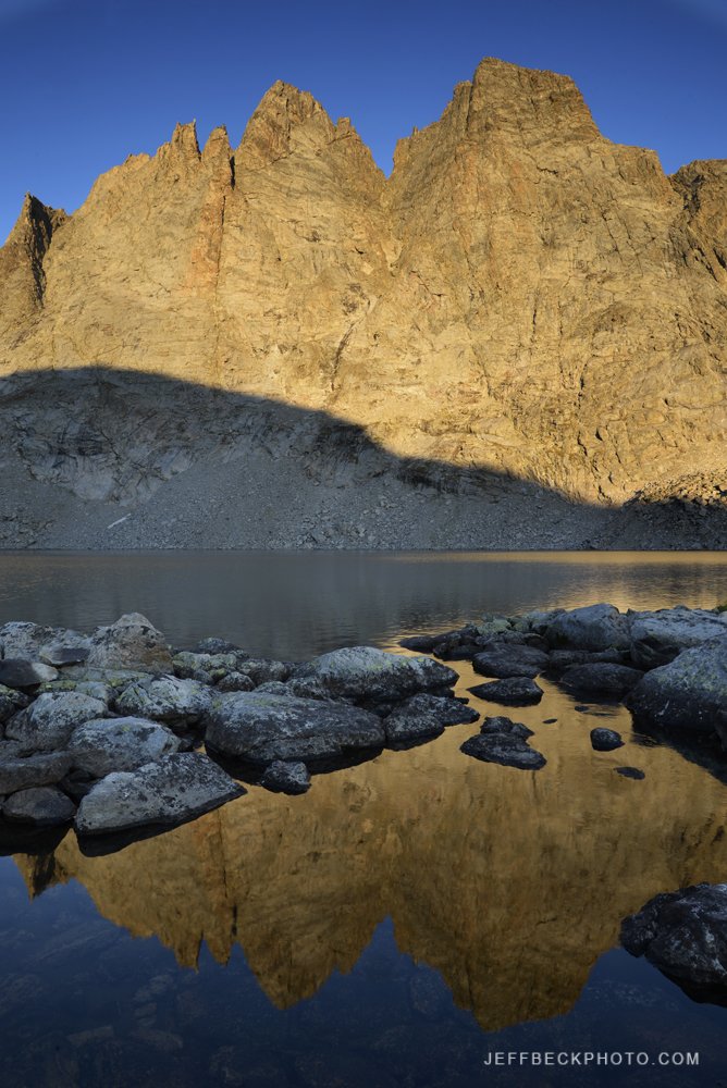
Scott and I were on the move for eleven hours that day, including our four mile round trip side hike to Druid Arch. I lucked out with the light and shot hundreds of photos that day, which is why it took eleven hours to move eleven miles. Druid Arch and Chesler Park did not disappoint. The upper Elephant Canyon trail leading in to Chesler Park was so much cooler than I remembered. The route from the top of Big Spring Canyon to Elephant Canyon became a new favorite. Scott and I had both saved one shot of whiskey to cheers at our camp in Chesler Park, at the end of a fantastic day of backpacking.

Wind River Range 2022

The week before Labor Day 2022, Scott and I did a fabulous six day lolly pop loop from the Scab Creek Trailhead into the Bridger Wilderness of Wyoming. We pushed it on day two to get to a private peninsula halfway up the east side of Rainbow Lake where I made my best ever Milky Way images. On day three we moved camp a short distance to near the outlet of Lee Lake and did a most excellent day hike to Noel Lake and the Continental Divide. Well above treeline, at the base of Nylon Peak, Noel Lake was an instant classic and is high on my list of the most stunning alpine lakes I’ve ever seen. The next day we would visit Donna and take an icy dip. We spent night four on the rocky terraces beside Bonneville Lake after a productive sunset photo session. On the hike out we passed stunning lakes and meadows that invited us to stay the rest of the season. The high grassy meadow lands with massive lakes in the Raid Lake/Dream Lake zone seemed worthy of more time than we had. We spent our last night in the vicinity of Little Divide Lake and got a burger and a beer the next afternoon at the brewery in Pinedale before saying sayonara.

Wind River Range 2023

I’m three years behind on blogging about my Wind River adventures. Thought I’d start with the most recent trip, just wrapped up less than two weeks ago. Scott, Erik, and I did what ended up being quite an elegant loop. We saw a lot of new country and hardly any people. Seemed kind of unusual for the Winds to hike all day for days on end and see nobody; I loved it.

We started in Elkhart Park, took the Pole Creek Trail toward Cook Lakes then caught the Fremont Trail climbing into Bald Mountain Basin where we left the trail and crossed the divide at Angel Pass. We dropped forever from Angel Pass to just below Upper Golden Lake where we spent two nights and did a day hike over Camp Pass between the Snowbank Lakes and got a view of Camp Lake and beyond. Then we followed the Hay Pass Trail from Golden Lakes over Hay Pass and down to Lake Victor. Next we took the Fremont Trail from just below Victor north over Hat Pass, past the Timico trail and caught the rugged Bell Lakes Trail dropping steeply to Chain Lakes where we took the Highline Trail back to Pole Creek. The photos are presented in chronological order.

We were on the trail eight days and spent seven nights in the backcountry. Long enough to really get into the rhythm of the place. Thankfully the weather held for us for the most part, until the final day we had really only hiked in the rain for about an hour total and the sun kept coming out so we could dry our gear. On the last day we woke up in the rain, we packed up in the rain and we hiked our last six miles in the rain; I kept thinking how lucky we were.


My Pandemic Project

I guess this could be called my 2020 project, but I like the alliteration; and the pandemic did play a part in this project. All of these images were created between February and December of 2020 at three Northern Utah locations; The Bear River Migratory Bird Refuge in Box Elder County, Farmington Bay Waterfowl Management Area in Davis County, and Lee Kay Ponds managed by the Utah Division of Wildlife Resources in Salt Lake County.

Initially, it was the combination of a newly procured 500mm lens, and the pandemic keeping me away from all my favorite trails in the Wasatch, that had me spending a lot of time in the marshes on the east side of the Great Salt Lake. These locations did prove to be good for social distancing.

Ultimately, it was an intensified interest in birds and bird photography, and a personal discovery of ducks and grebes in particular that captivated me, and kept bringing me back. I had some incredibly enjoyable photo sessions last year. I discovered that lying under a gillie blanket at the edge of a duck pond, surveying the less than three degree angle of view through the lens, along the surface of the pond, waiting for ducks to swim into frame, is powerful meditation.

Pied-billed Grebe Podilymbus podiceps: Farmington Bay Waterfowl Management Area, Utah

Western Grebes Aechmophorus occidentalis: Bear River Migratory Bird Refuge, Utah

Neotropic Cormorant Phalacrocorax brasilianus: Farmington Bay Waterfowl Management Area, Utah

Great Blue Heron Ardea herodias: Farmington Bay Waterfowl Management Area, Utah

Snowy Egrets Egretta thula: Bear River Migratory Bird Refuge, Utah

Black-crowned Night-Heron Nycticorax nycticorax: Bear River Migratory Bird Refuge, Utah

Mallard hybrid ♂: Lee Kay Ponds, Utah

Northern Pintail Anas acuta : Farmington Bay Waterfowl Management Area, Utah

Gadwall Anas strepera ♂: Bear River Migratory Bird Refuge, Utah

Northern Shovelers Anas clypeata: Farmington Bay Waterfowl Management Area, Utah

Cinnamon Teal Anas cyanoptera ♂: Lee Kay Ponds, Utah

Greater Scaup Aythya marila ♀: Farmington Bay Waterfowl Management Area, Utah

Common Goldeneye Bucephala clangula ♀: Lee Kay Ponds, Utah

Common Merganser Mergus merganser: Lee Kay Ponds, Utah

Ruddy Duck Oxyura jamaicensis ♀: Farmington Bay Waterfowl Management Area, Utah

Hooded Merganser Lophodytes cucullatus ♂: Lee Kay Ponds, Utah

Hooded Mergansers Lophodytes cucullatus ♀: Lee Kay Ponds, Utah

Killdeer Charadrius vociferus: Farmington Bay Waterfowl Management Area, Utah

American Avocets Recurvirostra americana: Farmington Bay Waterfowl Management Area, Utah

Greater Yellowlegs Tringa melanoleuca: Farmington Bay Waterfowl Management Area, Utah

Wind River Range: August 2020

EB hikes beside upper Titcomb Lake, Bridger Wilderness, Wyoming

I was lucky enough to spend seven days backpacking in the Winds in late August. Making it back in to Titcomb Basin after 20 years was a highlight. As was being back in the Wind River Range with Erik and Rosalie three years after our first trek together there. August twenty years ago was my first backpack in the Winds. This was my fifth. I’m hoping to increase that frequency over the next twenty years.

Our route went from Elkhart Park past Senaca Lake and Island Lake to Titcomb Basin then back to the Highline Trail which we followed over Lester Pass and down to the Cook Lakes Loop. One of the highlights of the trip was hiking to Wall Lake from our camp at Upper Cook Lake. We finished our loop on the Pole Creek Trail past Eklund Lake and back past Photographers Point to Elkhart Park.

Titcomb Basin and vicinity was a zoo. The scenery is undeniable but at times the amount of traffic on the trail was noisy and annoying. We found a gorgeous campsite at the end of a string of lakes below Titcomb Lakes. When we got there there was one other group and we tried to give them a little room and still stay legal by not camping too close to the outlet stream. We turned around and two more groups had moved in, one on either side of us.

On the other side of Lester Pass we finally got a little solitude. It seemed like there were only two other groups in the entire Cook Lakes area while we were there. On two jaunts to Wall Lake, one in the evening by myself and then again in the morning with Erik, we didn’t see another soul.

I loved almost everything about this trip except the light. On day three thick smoke from distant wildfires filled the range and never fully cleared. Looking at my photos from our second evening, and my most productive landscape photo session of the trip, the air was already less than clear. This definitely forced me to concentrate on details which was not necessarily a bad thing. I’ve come home from many a trip to look at my photos and think, I wish I would have focused more on details instead of trying to get everything in the frame all the time.

Some of my favorite images of the trip and certainly the most colorful were of butterflies. There were a ton of butterflies flitting around high wildflower meadows. The Fritillaries were particularly abundant, but the California Tortoiseshells were the most approachable.

Fremont Peak reflected in a small lake below Titcomb Basin, Wind River Range, Wyoming

Fremont Peak reflected in a small lake below Titcomb Basin, Wind River Range, Wyoming

Escalante: Egypt, Fence Canyon, Twentyfive Mile Wash Loop

Wind River Range: Green River Lakes to Elkhart Park August 2017

Green River meanders past Squaretop Mountain

Beautiful string of lakes on Elbow Creek.

Elbow Lake sunset.

Milky Way above Elbow Peak.

Elbow Lake dawn.

Zen rocks.

Morning light.

Highline divide.

Above Upper Jean.

CDT thru-hiker cruises along Upper Jean Lake.

Alpine elements of style.

Sunset reflection.

Parting shot.